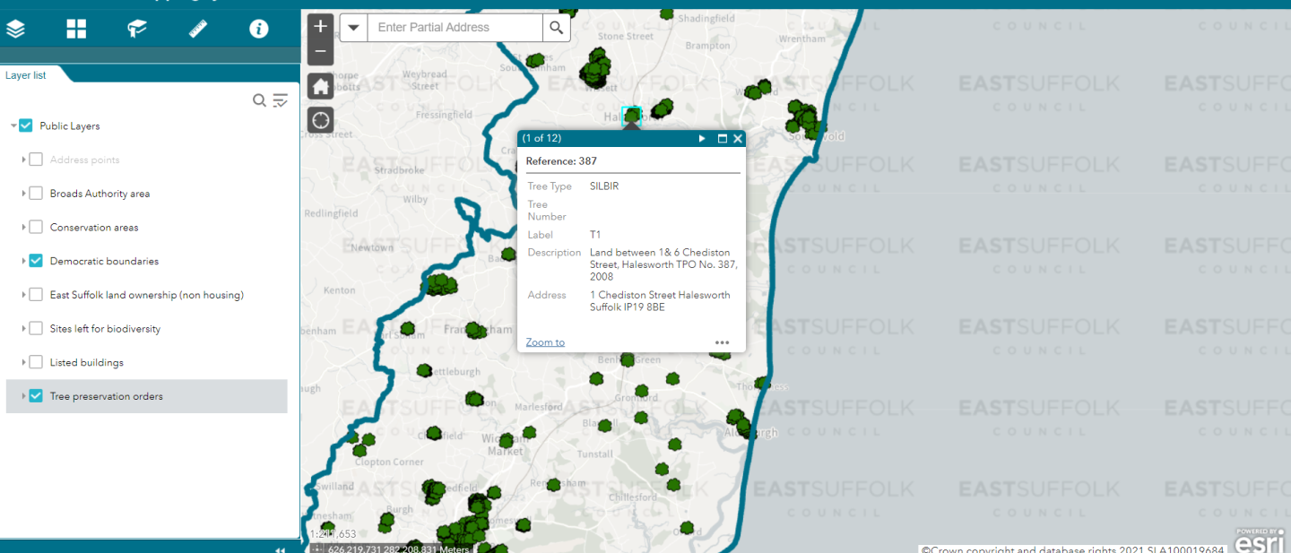
You can switch layers on/off, change the base maps, save bookmarks, search for addresses, and take measurements.
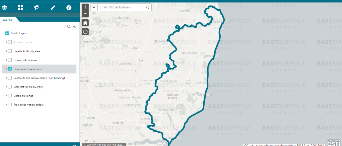
Clicking on a visible feature will show any relevant information.
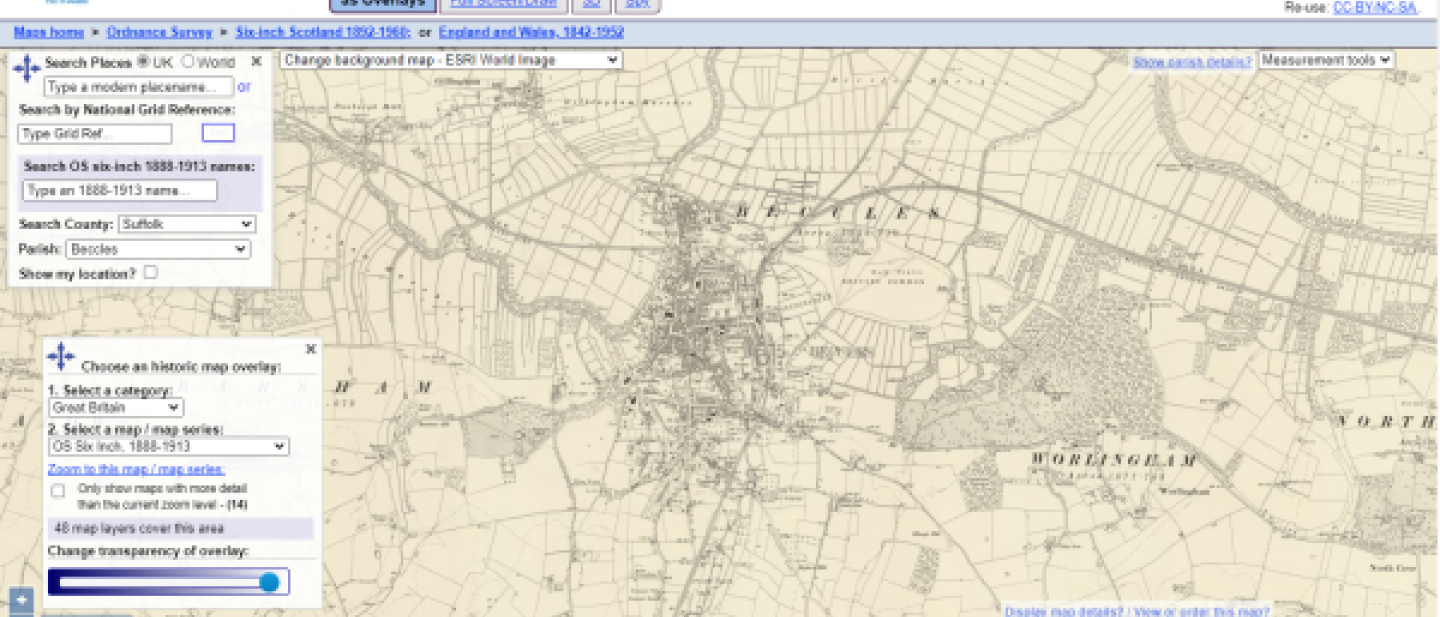
Historical maps
The National Library of Scotland website provides historical maps for the entire mainland UK from 1842 to 1952, with the ability to view historic layers, side-by-side with modern satellite imagery.
There are over 30 different historical layers available, from Ordnance Survey outlines to population changes, geological, rainfall and administration areas.